 Acocks Green History Society
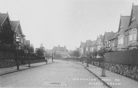
Greswolde Park Road
The name of this road refers to the owners of the Malvern Hall Estate, who sold the land. At that time the family was called Greswolde-Williams. This is one of the premier roads in Acocks Green, developed almost entirely in the Edwardian period.
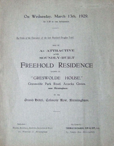
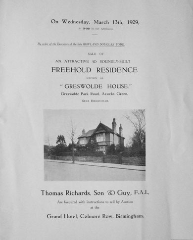
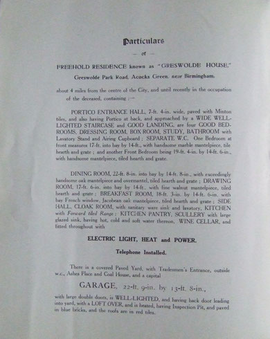
The 1904 O.S. map shows two houses: Longville (number 2), and Rushbury (number 5). Half the odd-numbered side at the Arden Road end is taken up by tennis courts and a pavilion. The 1905 directory adds Greswolde House (number 17), later lived in by the City Librarian, Herbert Cashmore, in place of the tennis courts. In the same year Porthkerran (number 4) appears, as does a house called Thornvik, which may have been number 12. By 1907 Hendon (number 9) is listed. By 1908 number 1 (Enville) and number 3 (Wynnstay) appear. Number 11 (Wentworth) is in the 1910 directory, and number 7 (Woodville), Newsome (number 13) and Colwyn (number 15) are listed in the 1911 census.
Number 12 was called Langdale in 1911. Number 14 (Arlington) and 16 (Muristan) appear the same year. The 1916 O.S. map shows all these houses, but not numbers 8 and 10. Number 10 dates from 1924 and number 8 from 1930. There was never a house numbered 6. A copse apparently accessed from number 8 was shown in directories from 1940 until 1951 as the Acocks Green Baptist Bowling Club. This area became Orchard Way in 1969, with number 12 disappearing to make an access point.
The bowling green had already come up for sale in November 1918 as:
"The capital freehold building site and perfectly laid out large bowling green situate in the Greswolde Park Road, Acock's Green. The site has a frontage of 19 yards or thereabouts to Greswolde Park road, and at the rear is the fine old Turf Green, with gravel walks and Gardens with fruit trees, delightfully shrubbed and laid out. There are two artistic and expensively-built Summer Houses. The total area is about 3,500 square yards. Illustrated booklet with all particulars can be had upon application."
Number 1A dates from 1986, number 17A from 1989, and number 19 from 1994. In 2011 a new house, number 18, sympathetic in style to its neighbours was built alongside number 16.
Number 4 is a respite care home for people with a learning disability.

The National Library of Scotland website has 25-inch maps up to the 1930s, and 1:1250 and 1:2500 maps up until 1973. There is also an option to compare Edwardian and current maps of various kinds using a slider. For this use the geo-referenced maps option. This is useful for plotting the exact location of changes.